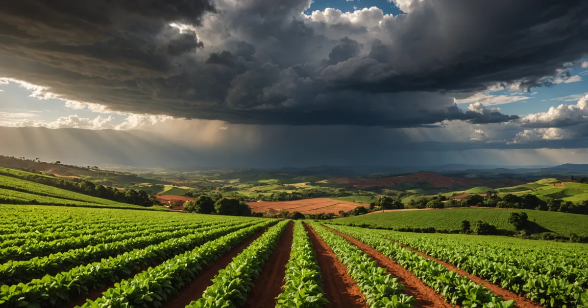
In July 2021, frost swept through the southern coffee belt of Minas Gerais and destroyed substantial parts of the standing crop. It was among the region's most serious frost episodes in decades, and its economic impact on smallholder growers appeared in cooperative delivery records for the next two full seasons. We use that event as a calibration reference for weather-related risk in our scoring model.
The Biennial Bearing Problem
Coffee arabica naturally tends toward alternating high and low production years. During a heavy crop, the plant uses much of its stored capacity for fruit development. In the next season, depleted carbohydrate reserves reduce the flowering response and yield falls. This documented agronomic pattern is the biennial bearing cycle, not an unusual event. In practice, Sul de Minas growers and cooperatives account for it directly: a grower delivering 28 bags per hectare in 2023 and 18 bags per hectare in 2024 may be following a normal pattern rather than showing farm distress.
For credit assessment, biennial bearing presents a clear problem: without knowing the farm's place in the cycle, one year's yield says little about repayment capacity. A grower seeking credit during a low-bearing year appears weaker than that same grower would during a high-bearing year. A model assigning the same score without considering cycle position would misprice risk in opposing ways for two neighboring cohorts.
We address this by standardizing yield information across two-season windows and identifying cycle position from regional harvest data. If a grower's cooperative delivery history spans at least four seasons, we calculate a cycle-adjusted average yield that is steadier than any single-season result. With less history available, we use a cautious cycle-adjustment factor drawn from regional Sul de Minas production data in our pilot cohort and publicly available CONAB (Companhia Nacional de Abastecimento) production estimates.
Frost Corridors in Sul de Minas
Sul de Minas has varied and complex terrain. The highest plots, above 1,100 metres in the Serra da Mantiqueira, experience cold conditions throughout the year but receive an altitude-related quality premium that can command specialty coffee prices. Valley floors, especially those aligned from south to north, act as frost corridors: on clear winter nights, cold air moves downhill and collects in low areas, allowing frost to form at elevations well below the usual frost line of 600 to 700 metres.
The July 2021 frost reached unusually far, damaging plots above 800 metres in some valley corridors. More localized frost, however, occurs regularly in lower-altitude valleys, appearing every four to six years in the historical INMET record. Treating Sul de Minas as one uniform climate zone would therefore understate risk for plots located in recognized frost corridors.
For every plot, we combine altitude, slope aspect, and distance from valley channels in a frost-exposure index. The index uses SRTM digital elevation data at 30-metre resolution, publicly available from NASA, along with INMET records from the nearest stations that have historical frost-event data. For lower-altitude plots within established frost corridors, the index adds a risk premium to the score's weather-volatility component. For high-altitude plots above 1,000 metres, where frost is less likely but flowering may be affected by cold stress and bean set, we use a separate weather-risk parameter.
Rainfall and the INMET Index
Coffee arabica needs approximately 1,500 to 1,800 millimetres of yearly rainfall, spread across the growing season, followed by a marked dry period during maturation to concentrate sugars in the cherry. Sul de Minas generally provides these conditions, although rainfall distribution can differ substantially.
Two periods carry particular risk. During flowering in October and November, sufficient soil moisture is needed to initiate synchronized flowering. A dry October followed by uneven early rains can create staggered flowering and varied cherry development, lowering harvestable yield and processing quality. During maturation from May to July, dry weather is preferable. An unusually wet May can prolong maturation, raising the chances of cherry drop and post-harvest quality loss.
INMET (Instituto Nacional de Meteorologia) operates automated weather stations throughout Minas Gerais, and its data is available through the public BDMEP (Banco de Dados Meteorologicos) archive. For a network of this scale, coverage across the Sul de Minas growing region is reasonable, though station spacing means specific plot locations require interpolation. We build a local rainfall index from the five closest INMET stations, weighting them by distance and similarity in elevation.
The index measures two factors: how the previous growing season's rainfall differed from the station's 30-year mean, and the historical likelihood of a rainfall shortfall during the current maturation window at that location. The deviation value enters the yield-normalization process described above. The maturation-window probability informs a harvest-timing adjustment for repayment schedule design, rather than the credit decision itself.
Where the Model Falls Short
Weather estimates for individual plots involve real uncertainty. INMET stations do not cover every remote growing area. Interpolating from nearby stations may overlook microclimate differences created by terrain: a hilltop plot three kilometres from a valley frost corridor has very different winter exposure from the valley floor. SRTM's 30-metre resolution records broad terrain patterns but not the fine detail that affects local climate.
Satellite rainfall estimates, including the CHIRPS product from USGS and UCSB, can help where station coverage is sparse. However, their validation across the complex terrain of the Sul de Minas highlands has limits that we are still evaluating.
We tell lenders clearly how much confidence to place in the weather-risk portions of the score. A plot in a known frost corridor with little nearby INMET coverage receives a wider uncertainty band than one near a well-monitored station with a lengthy frost-event record. We show that uncertainty in the risk-score output instead of concealing it within one point estimate.
Including Weather Risk in Repayment Planning
Weather variability affects credit risk in one way and repayment timing in another. A grower whose harvest is projected for June, based on altitude and the usual maturation timing of the cultivar mix, cannot reasonably be expected to make identical monthly payments from February through May. In addition, a grower in a higher-exposure frost zone faces a meaningful chance of a partial harvest in any given year.
Our loan structure accounts for both issues. We set repayment schedules around harvest windows rather than calendar months. For growers in zones with greater weather risk, we include a grace-period provision that takes effect when INMET confirms an unusual weather event across the growing region, permitting terms to be renegotiated without a default classification. This is not charity: it keeps one poor-weather season from causing a chain of technical defaults that harms credit access for a whole cohort that would otherwise repay in a normal season.
The weather model must be accurate enough for this structure to work. If the harvest timing used in the repayment schedule is consistently wrong, grace-period provisions will be triggered too frequently or too rarely. Careful calibration of weather inputs is therefore part of making harvest-aligned lending work in practice, not merely in theory.